

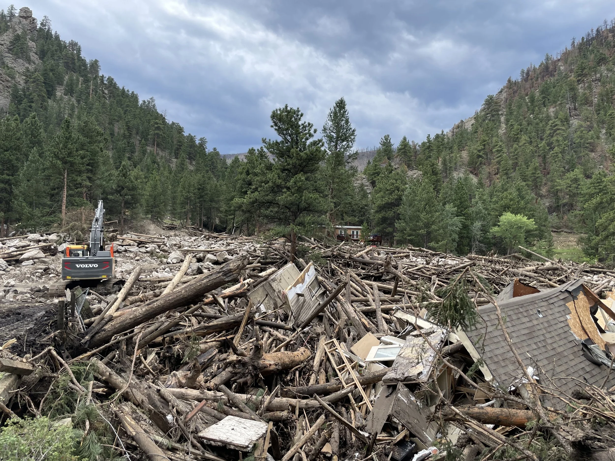
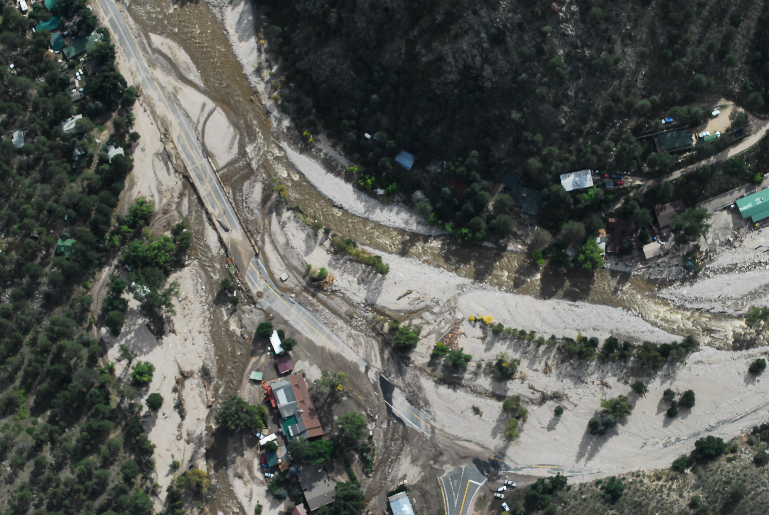
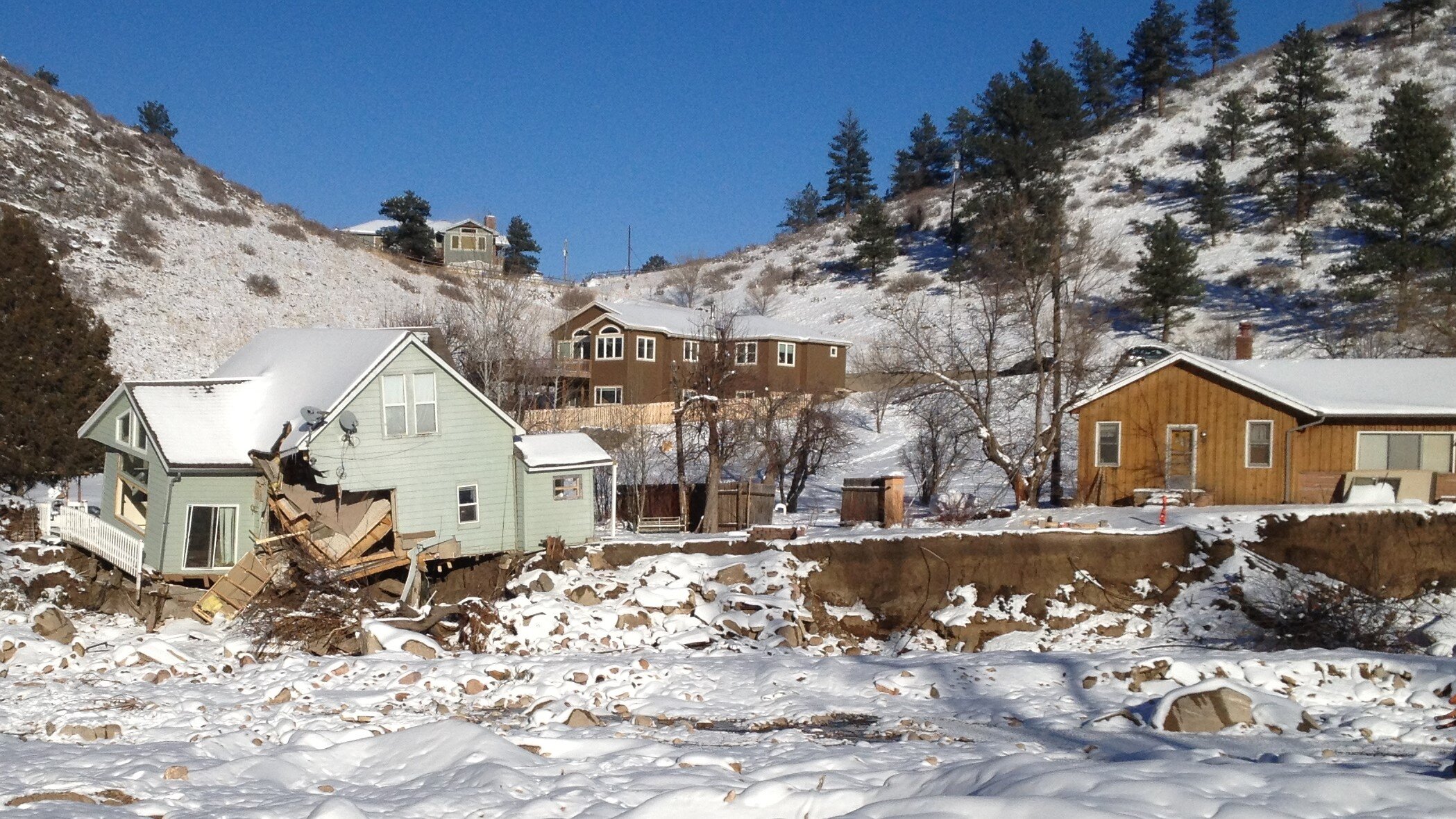
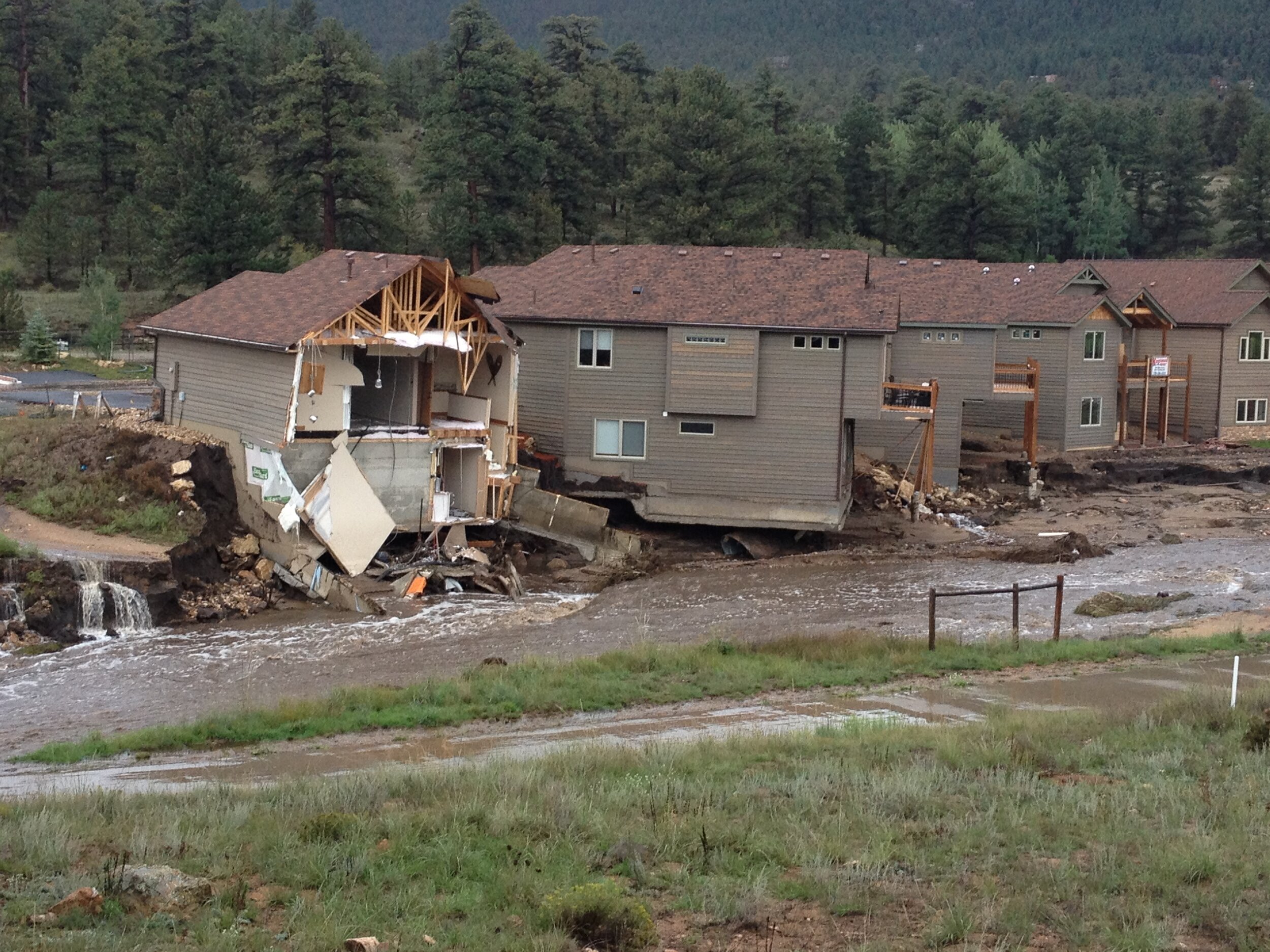
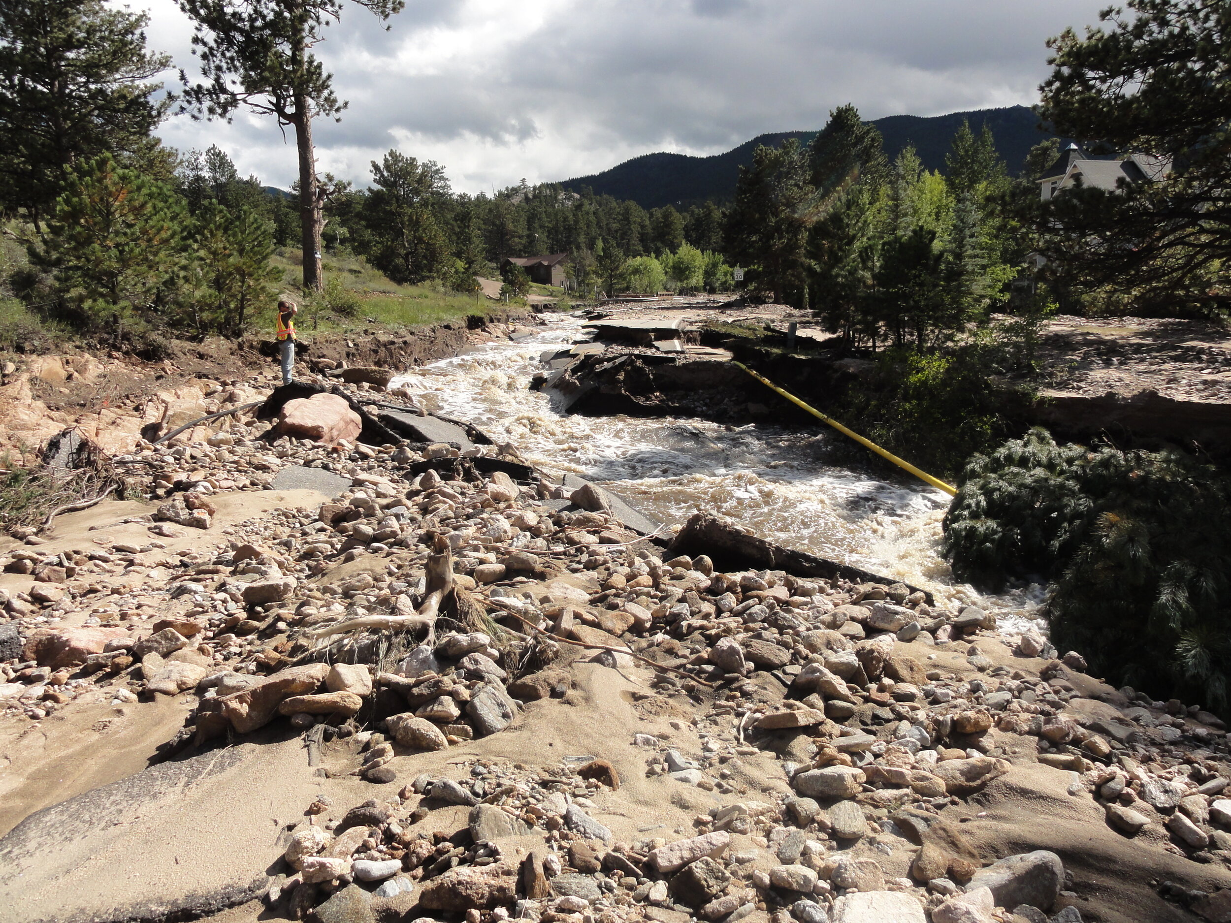
Hazards associated with rivers and flooding go far beyond the water extents shown on FEMA floodplain maps.
From erosion and deposition to avulsions and alluvial fans, as well as understanding the implications of a wildfire on your creek system, we can help you understand what hazards exist and what areas are vulnerable to each hazard.
WSD provides:
Unrivaled experience with using the Colorado Fluvial Hazard Zone Mapping protocol to delineate areas susceptible to erosion, deposition, and avulsions.
An understanding of how best to communicate about Fluvial Hazard Zone maps with local agencies, community members, and elected officials.
Experience in teaching scientists, engineers, planners, and floodplain managers about the principals and use of FHZ maps.
Third-party, external peer reviews of maps created by other consultants.
Featured Projects


Reach out to learn more about how we can help you with Fluvial Hazard Zone Mapping + Mitigation.
