
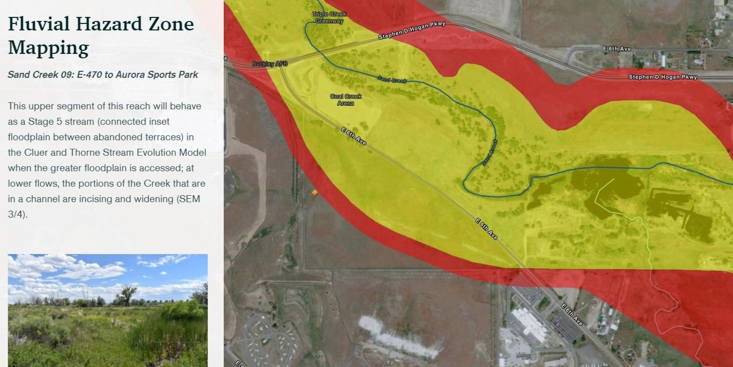
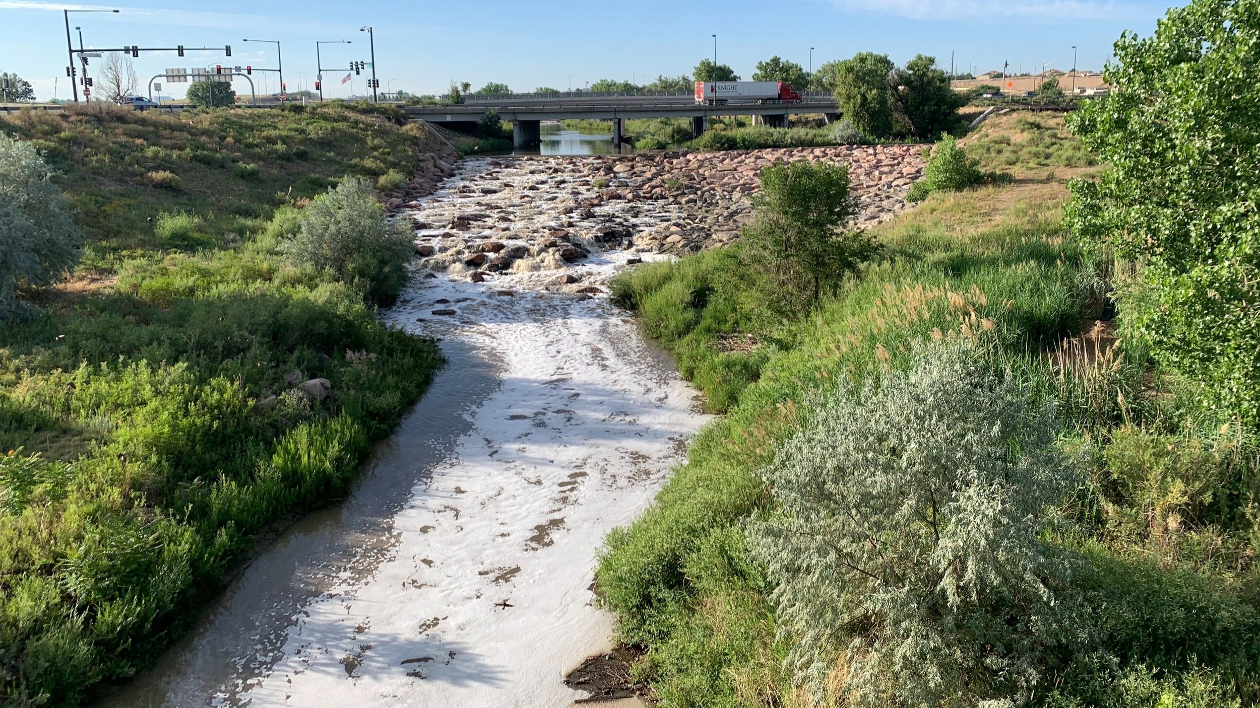
Sand Creek Fluvial Hazard Zone Mapping and Mitigation
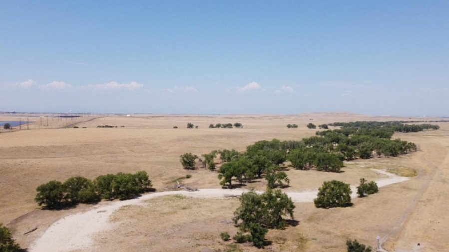
This stream was chosen for FHZ mapping due to the intense development pressure in the area and the FHZ maps have already been used to provide comments and recommendations to the City of Aurora on major infrastructure alignments and the platting of Master Planned Communities.
Knowing that communication of the concepts and meaning of Fluvial Hazard Zone maps would be paramount to their use and acceptance, our team took deliberate steps to create a web-based StoryMap that could quickly and efficiently relay the narrative.
The mapping is accompanied by a fluvial hazard mitigation strategy that focuses on accommodating watershed- and reach-scale geomorphic processes.
The fluvial hazard mitigation strategy focuses on five suites of actions that can be taken in the Sand Creek corridor to protect life and property, mitigate past decisions, and encourage smart development moving forward. WSD is currently assisting the City of Aurora and MHFD with the incorporation of the Fluvial Hazard Zone mapping into development review processes, and possibly, land use regulation.
PROJECT GOALS
HAZARD IDENTIFICATION AND SMART DEVELOPMENT
EROSION MANAGEMENT AND SEDIMENT STORAGE
INFRASTRUCTURE RETROFITS
COMMUNITY PLANNING
“The Sand Creek FHZ has been incredibly helpful as we review new development along the creek corridor. The FHZ gives us another way of communicating risk and analyzing improvements with developers. Without it, we wouldn’t be nearly as effective in preserving and protecting Sand Creek and the communities in our district.”
— Mark Schutte, Project Engineer, Mile High Flood District

Contact us to see how we can help you with your watershed.