
Calwood Fire Recovery + Flood Preparedness

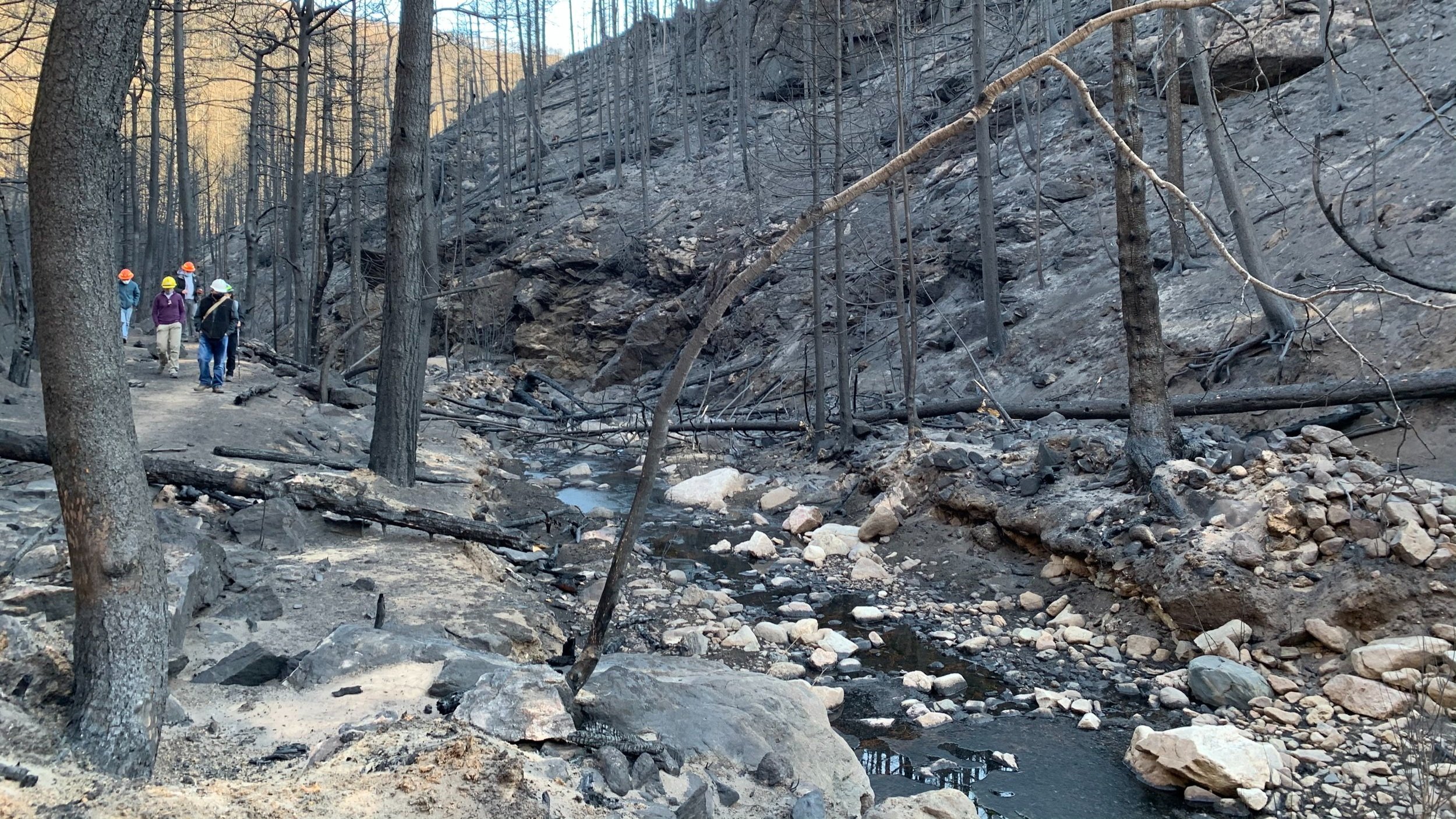
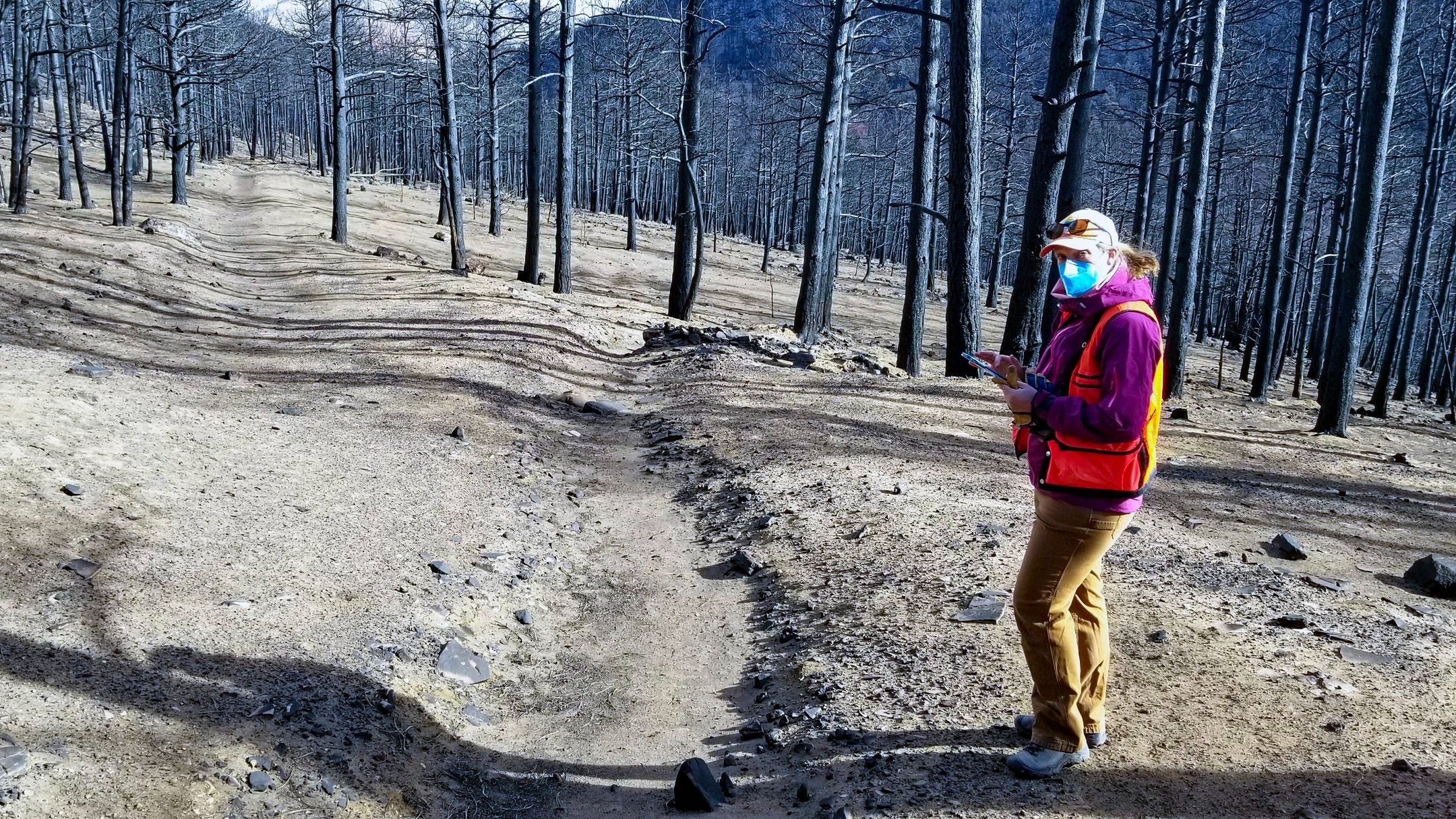
The Calwood Fire ignited on October 17, 2020 and burned over 10,110 acres, becoming the largest fire in Boulder County history. The need for interventions to prepare for and reduce post-fire erosion and flood impacts was high. The fire burned major portions of Geer Canyon (which is a major tributary to Left Hand Creek) as well as Central Gulch (which is a major tributary to South St. Vrain Creek). Impacted areas are the burned area itself, but also downstream communities and assets which include Lefthand Water, whose intake for over 21,000 users in Boulder and Weld Counties, is directly downstream of the fire-affected area. Also just downstream are 22 private parcels within the Streamcrest Subdivision that were heavily impacted by the 2013 flood and remain in the 100-year floodplain and Fluvial Hazard Zone of Lefthand Creek. The City of Longmont has a municipal intake on the South St. Vrain, downstream of the fire’s footprint, and dozens of irrigation ditches draw from Left Hand Creek and St Vrain Creeks downstream of the burned area. Stabilization of the slopes within the burn area is critical for all aspects of public safety and watershed health.
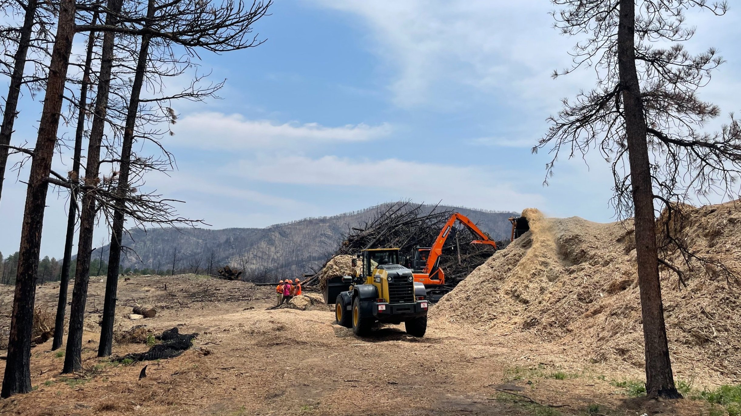
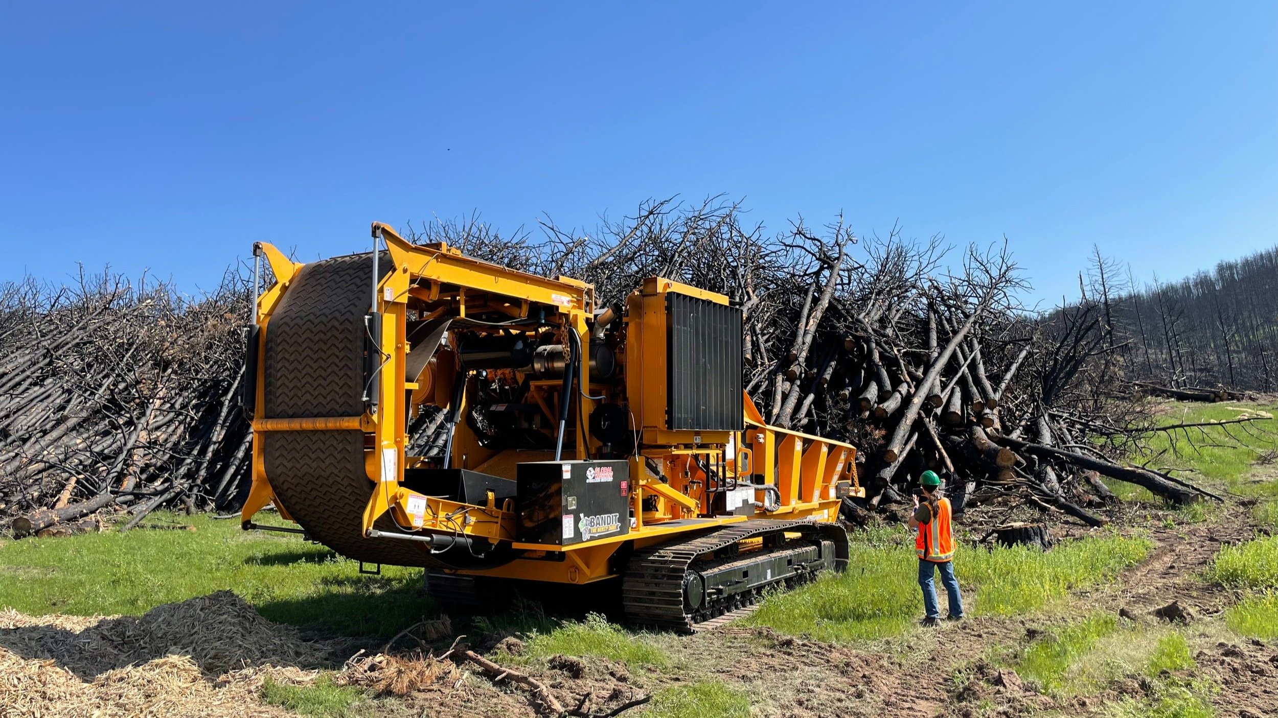
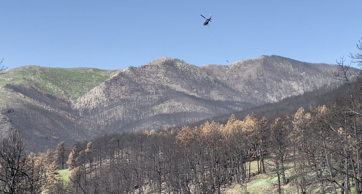
The overall recovery plan including the high priority aerial mulching locations were identified via a collaborative process that included Boulder County Parks, Public Works, and the Office of Emergency Management (OEM), The Left Hand Watershed Center, the US Forest Service (USFS), St. Vrain and Lefthand Water Conservancy District (SVLHWCD), the Cal-Wood Education Center, CDOT, and City of Longmont with technical support from the Colorado Forest Restoration Institute, Colorado Watershed Conservation Board (CWCB), and Watershed Science and Design. This process identified approximately 220 acres on USFS lands where mulching would have the greatest, and most cost-effective, impact on reducing sediment delivery to downstream municipal and agricultural water users, transportation infrastructure, and residents in and adjacent to the stream corridor.
PROJECT GOALS
STABILIZE HILLSIDES AND REDUCE HILLSLOPE EROSION
Keep fine sediments out of municipal and agricultural water supplies.
REDUCE FLOODPLAIN AND CHANNEL EROSION
Stabilize channels and floodplains and install structures that trap sediments in headwater streams and floodplains.
PROTECT ROADS, HOMES, AND WATER SYSTEMS
Prioritize work in areas that impact human investments and where treatments can be effectively installed.
The Calwood Fire recovery project seeks to address hazards to public safety, homes, roads, recreational infrastructure, as well as water quality for numerous municipal and agricultural suppliers and riparian and aquatic ecosystems.

Contact us to see how we can help you with your watershed.